INDENTIFICATION AND MAPPING OF ECOLOGICAL CORRIDORS
Species
Large Mammals: Red Deer, Balkan Chamois
Organization
WWF GREECE in collaboration with the INSTITUTE OF FOREST RESEARCH OF THESSALONIKI and the DEPARTMENT OF GEOGRAPHY OF THE UNIVERSITY OF THE AEGEAN
Duration
March 2023 - November 2024
Region
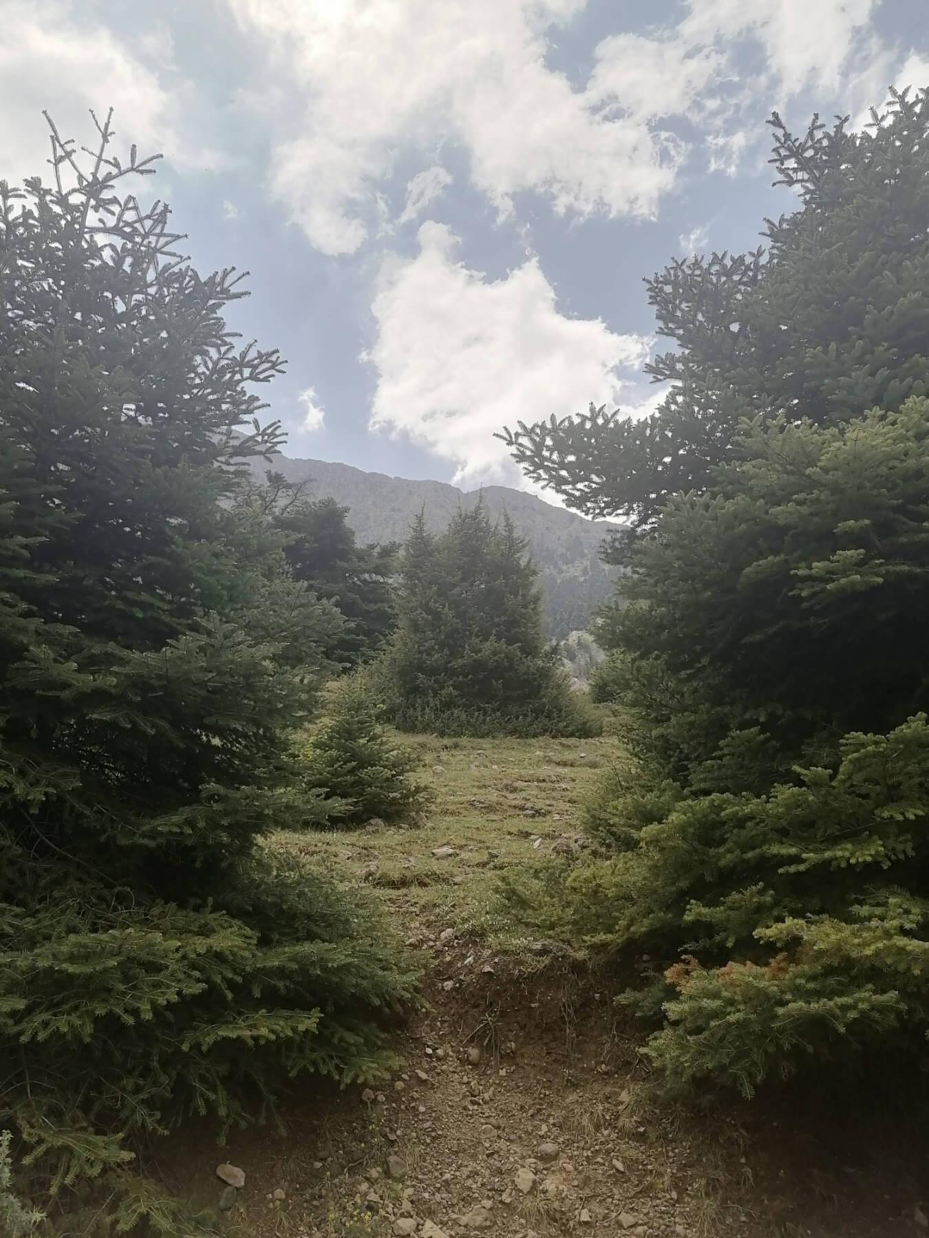
protected areas of Mainland Greece: Parnitha to Kithairona, Gerania mountains, Vardousia, Giona, Agrafa
THE NEED
The identification and mapping of potential corridors through which wild animals move (ecological corridors) is essential to reduce the impacts of population isolation due to habitat degradation or fragmentation. These ‘corridors’ facilitate the recolonization of suitable habitats that species may have abandoned, but also maintain the connectivity and genetic exchange of existing populations. In both cases, corridors contribute to the long-term conservation of species.
The population of the Balkan chamois (Rupicapra rupicapra balcanica) in the Vardousia Mountains faces great difficulties in connecting with isolated populations in the neighboring mountains of central Greece, resulting in a high rate of genetic isolation, which creates problems for the conservation of the species’ populations as a whole. On the other hand, research shows that the red deer (Cervus elaphus) population seems to be “trapped” very close to the urban area of Athens, but also in other areas of intense human activity, which results in problems when the animals cause damage to crops. In parallel the population of wolves (whose main prey is red deers) increases and furthermore it is coming into contact with humans, with recorded cases of attacks on domestic animal.
THE PROGRAM
The main objective of the program is to identify and map the ecological corridors of the mainland forested protected areas, as well as the ecological corridors for the red deer and the Balkan chamois, at a specific spatial scale, using modern satellite methods.
In essence, a map will be created that will show the difficulty a species is expected to face in crossing each region. This map will take into account key environmental and anthropogenic factors that may affect movement.
The role of each factor will be derived from a combination of expert data and information from scientific studies and studies with motion-tracking cameras. Once the map is created, using appropriate software (e.g. Linkage Mapper), the main barriers to connectivity and movement bottlenecks (pinch points) will be identified and subsequently the easiest routes (least-cost corridors) for species, between sites, will be derived. A complete report, including full documentation and detailed maps, will be produced, focusing on connectivity of protected areas at the national level, accompanied by the corresponding work for the two species under study (red deer, Balkan chamois) in their area of distribution. Upon completion of the program, this information will be used to formulate a policy proposal for the institutional protection of ecological corridors and the initiation of an expanded/ inclusive process for their case specific delineation and protection in the future.